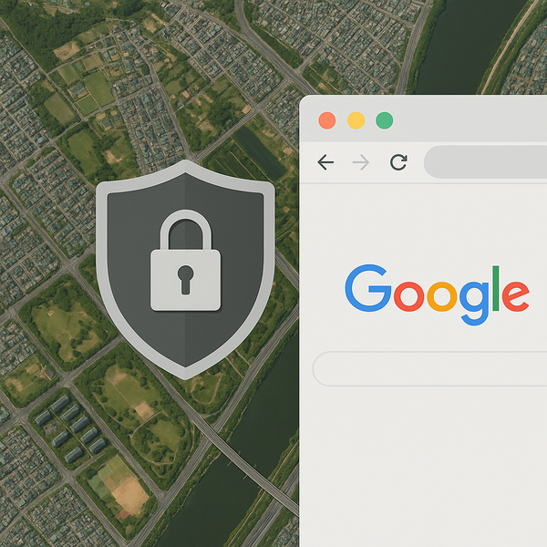
The government has conditionally approved Google's export of 1:5,000 high-precision map data that the company has requested since 2007.
The Ministry of Land, Infrastructure and Transport said on Thursday it passed the decision at a meeting of the consultative body on overseas export of survey results, held at the National Geographic Information Institute in Suwon, Gyeonggi Province. The body includes the transport ministry, the Ministry of Science and ICT, the foreign ministry, the unification ministry, the defence ministry, the interior ministry, the trade ministry, the National Intelligence Service and private-sector members.
A 1:5,000-scale map is a high-precision map that represents an actual distance of 50 metres as 1 cm on the map. Under the current Spatial Information Management Act, exporting maps more detailed than 1:25,000 requires approval from the transport minister. The government has refused exports on concerns about undermining national security. It previously issued decisions to defer three times, in May, August and November last year.
The decision comes against a backdrop of South Korea-U.S. tariff negotiations. The U.S. government has defined South Korea's refusal to allow exports of high-precision maps as a non-tariff barrier in the talks and has continued to press for its removal. The government sees the decision as helping boost its leverage in future negotiations with the United States.
The approval is contingent on multiple security conditions. When providing South Korea satellite and aerial imagery in Google Maps and Google Earth, only images that have completed security processing under relevant laws can be used. Past time-series imagery and Street View are also subject to masking of military and security facilities. Coordinate displays of South Korean territory on global services must also be removed or have exposure restricted.
Data handling is also restricted. Google's local partner companies can export only data that are processed from original data on domestic servers and have undergone government review and confirmation. The scope of exportable information is limited to basic base maps needed for navigation and directions and transport networks such as roads. Security-sensitive information such as contour lines is excluded from export.
If military or security facilities are added or changed, a system will also be put in place for local partner companies to make rapid revisions on domestic servers at the government's request. A so-called red button, a technical measure that enables an emergency response if an imminent harm or specific threat related to national security arises, must also be implemented. The conditions also include having a South Korea map officer reside in the country and operating an always-on communications channel.
The government will allow the actual export only after confirming that Google has met the conditions, and it can suspend or revoke approval if continued and serious non-compliance is confirmed.
The consultative body assessed that the technical alternatives presented by Google would help mitigate existing security vulnerabilities such as exposure of military and security facilities and coordinate displays. It judged that post-export management control can be maintained because only limited data cleared by the government would be exported after sensitive information is processed on domestic servers subject to South Korean law.
The decision is expected to bring significant changes to the domestic map services market led by Naver and Kakao. The consultative body recommended that the government prepare, jointly with relevant ministries, measures to foster and support the spatial information industry, including building 3D high-precision spatial information, supporting development of spatial AI technology, training specialised personnel and creating public demand. It also urged Google to devise and implement shared-growth measures that contribute to the development of South Korea's spatial information industry and AI-related industries.
Chris Turner (크리스 터너), vice president of government affairs for policy knowledge and information at Google, said he sincerely welcomed the South Korean government's decision to allow map exports and expressed deep gratitude. He said he was very pleased to have the opportunity to showcase Google Maps' capabilities in South Korea, which he described as leading the world with outstanding technological leadership. He added that Google would draw up specific service implementation plans while working closely with the government and local partners to support South Korea's growth.